Skip to main content
Object Number
2004.24.5454
Display Title
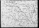
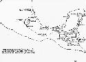
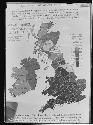
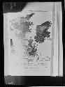
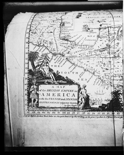
Map of the British Empire in America with the French and Spanish settlements
Descriptions
Object Description
Map of the British Empire in America with the French and Spanish settlements
Keywords
- Writing and Record
- Studio
Subject
- Expedition
- Map
Department
Photographic
Geography/Provenience/Site Name
North America
/
United States
Materials
Negative, glass plate
Important Note about Historical Language
Collections records may contain language, reflecting past collecting practices and methods of analysis, that is no longer acceptable. The Peabody Museum is committed to addressing the problem of offensive and discriminatory language present in its database. Our museum staff are continually updating these records, adding to and improving content. We welcome your feedback and any questions or concerns you may want to share. Please email us with your comments.