Skip to main content
Object Number
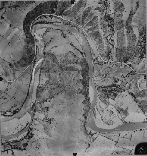
58-34-20/74306
Display Title
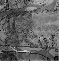
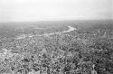
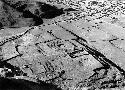
Aerial view at Chutixtiox
Descriptions
Subject
- Aerial View
- Landscape
Department
Photographic
Geography/Provenience/Site Name
Central America
/
Guatemala
/
El Quiche
/
<County>
/
Sacapulas
/
Chutix Tiox
Important Note about Historical Language
Collections records may contain language, reflecting past collecting practices and methods of analysis, that is no longer acceptable. The Peabody Museum is committed to addressing the problem of offensive and discriminatory language present in its database. Our museum staff are continually updating these records, adding to and improving content. We welcome your feedback and any questions or concerns you may want to share. Please email us with your comments.
| PrimaryMedia | Object Number | Title | Classification | Geography/Provenience | SHARE |
|---|---|---|---|---|---|
| 58-34-20/35942 | Aerial view of Chutixtiox |
Chutix Tiox
| ||
| 58-34-20/35941 | Aerial view of Chutixtiox |
Chutix Tiox
| ||
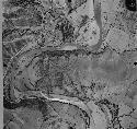
| 58-34-20/74307 | Aerial view at Chutixtiox |
Chutix Tiox
| ||
| 58-34-20/74309 | Aerial view at Chutixtiox |
Chutix Tiox
| ||
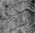
| 58-34-20/74308 | Aerial view at Chutixtiox |
Chutix Tiox
| ||
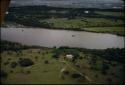
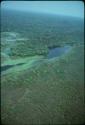
| 2013.25.2.65 | Aerial view of Venezuela landscape, view of river |
Photographic
|
Venezuela
| |
| 2013.25.2.66 | Aerial view of Venezuela landscape, view of farm |
Photographic
|
Venezuela
| |
| 2004.15.1.817.1 | Aerial view of Rio Pasion (?) |
Peten
| ||
| 2004.15.19.714 | Aerial view of river |
Central America
| ||

| 2004.15.19.812 | Aerial view of Rio Usumacinta |
Central America
| ||
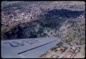
| 45-9-30/11823.1.13.18.4 | Pucara excavations, aerial view of site |
Peru
| ||
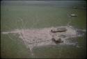
| 2001.29.3689 | “The Big Hole” at the Kimberly diamond mine, aerial view |
Kimberley
|