Skip to main content
Object Number
2005.3.319.30
Display Title
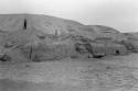
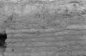
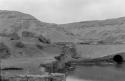
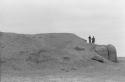
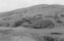
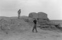
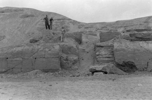
Un-named ruin on coast where Pan-American Highway turns inland toward Chincha
Descriptions
Department
Photographic
Artist
Dr. Samuel Kirkland Lothrop
Geography/Provenience/Site Name
South America
/
Peru
Additional Geographic Terms
Pan-American Highway: near Chincha
Materials
Negative, black and white
Dimensions
Overall: 3.5 cm (1 3/8 in.)
Important Note about Historical Language
Collections records may contain language, reflecting past collecting practices and methods of analysis, that is no longer acceptable. The Peabody Museum is committed to addressing the problem of offensive and discriminatory language present in its database. Our museum staff are continually updating these records, adding to and improving content. We welcome your feedback and any questions or concerns you may want to share. Please email us with your comments.