Skip to main content
Object Number
2006.16.1.2.12
Display Title
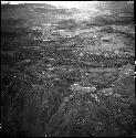
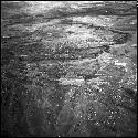
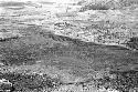
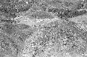
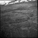
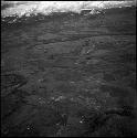
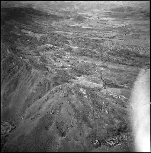
A view towards the south from the north side of the Tukumba showing the ridge running towards the south and east
Descriptions
Object Description
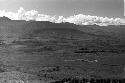
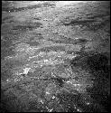
Robert Gardner negatives taken during Harvard Peabody New Guinea Expedition; Aerials of W-W territory; 12 negatives; Panatomic X
Classification
- Documentary
Department
Photographic
Date
7/28/1961
Artist
Robert G. Gardner
Culture
- Dani
Geography/Provenience/Site Name
Oceania
/
New Guinea
Materials
Negative, rollei 120
Dimensions
Overall: 5.715 cm (2 1/4 in.)
Credit Line
Gift of Robert Gardner
Provenance
Donor
Robert G. Gardner
Important Note about Historical Language
Collections records may contain language, reflecting past collecting practices and methods of analysis, that is no longer acceptable. The Peabody Museum is committed to addressing the problem of offensive and discriminatory language present in its database. Our museum staff are continually updating these records, adding to and improving content. We welcome your feedback and any questions or concerns you may want to share. Please email us with your comments.