Skip to main content
Object Number
2001.29.3203
Display Title
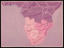
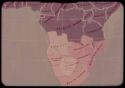
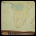
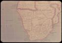
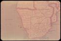
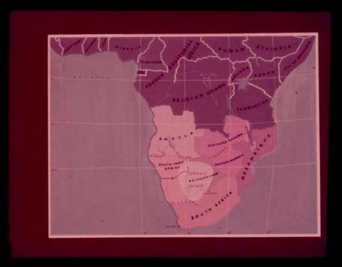
Map: Map showing the location of the Kalahari Desert in southern Africa
Descriptions
Department
Photographic
Date
1951-1953
Geography/Provenience/Site Name
Africa
Materials
slide, 35mm
Quantity
1
Provenance
Donor
Lorna Marshall
Donor
John Marshall
Important Note about Historical Language
Collections records may contain language, reflecting past collecting practices and methods of analysis, that is no longer acceptable. The Peabody Museum is committed to addressing the problem of offensive and discriminatory language present in its database. Our museum staff are continually updating these records, adding to and improving content. We welcome your feedback and any questions or concerns you may want to share. Please email us with your comments.