Skip to main content

Object Number
996-27-20/75056.2.185
Display Title
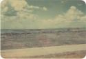
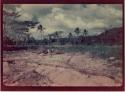
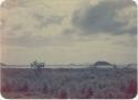
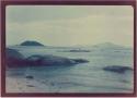
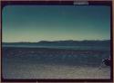
Small island peak used in survey
Descriptions
Department
Photographic
Date
1951
Artist
Dr. Samuel Kirkland Lothrop
Geography/Provenience/Site Name
Central America
/
Panama
/
Panama
/
<County>
/
<City>
/
Venado Beach
Materials
Slide, color
Dimensions
Overall: 2.5 × 3.5 cm (1 × 1 3/8 in.)
Important Note about Historical Language
Collections records may contain language, reflecting past collecting practices and methods of analysis, that is no longer acceptable. The Peabody Museum is committed to addressing the problem of offensive and discriminatory language present in its database. Our museum staff are continually updating these records, adding to and improving content. We welcome your feedback and any questions or concerns you may want to share. Please email us with your comments.